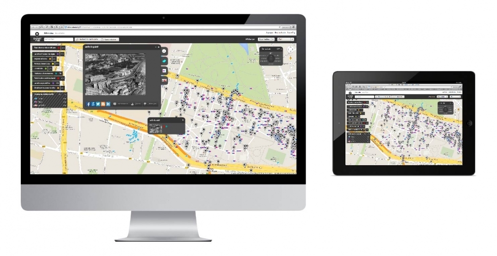
SmartMap - Collaborative and sensible cartography
SMARTMAP | COLLABORATIVE AND SENSITIVE CARTOGRAPHY

// Description
// Associated services
Cartographic web or mobile application, the SmartMap can be deployed on any territory, from a local scale to a whole city. It aims at fostering the emergence of a collective, emotional and shared vision of the territory.
The SmartMap invites visitors and users to reclaim and rediscover their leisure, visit and workplaces. It gives access to a wide range of geolocated and editorialised digital resources: videos, texts, sounds, graphic documents.
The app preserves the "tracks" left by the users on the territory, revealing its audiovisual memory and providing a way to co-construct its identity.
The SmartMap is built as a cartographic unit of varying scale. The nature of the features, the level and type of interaction with the user can be customized according to specific purposes.
Cartographic devices design and production
→ Feasibility study and definition
→ Technical and functional conception
→ UI and UX Design
→ Technical developments
→ Administrative tool implementation
→ Administrative tool training
Digital contents conception and production
→ Audiovisual contents conception and production
→ Archival records identification and collection
→ Participatory workshops conception and animation
Navigation
Dédale | 24 Rue de l’Est 75020 PARIS | Tel. +33 (0)6 31 13 35 74 | contact@dedale.info
Dedale